


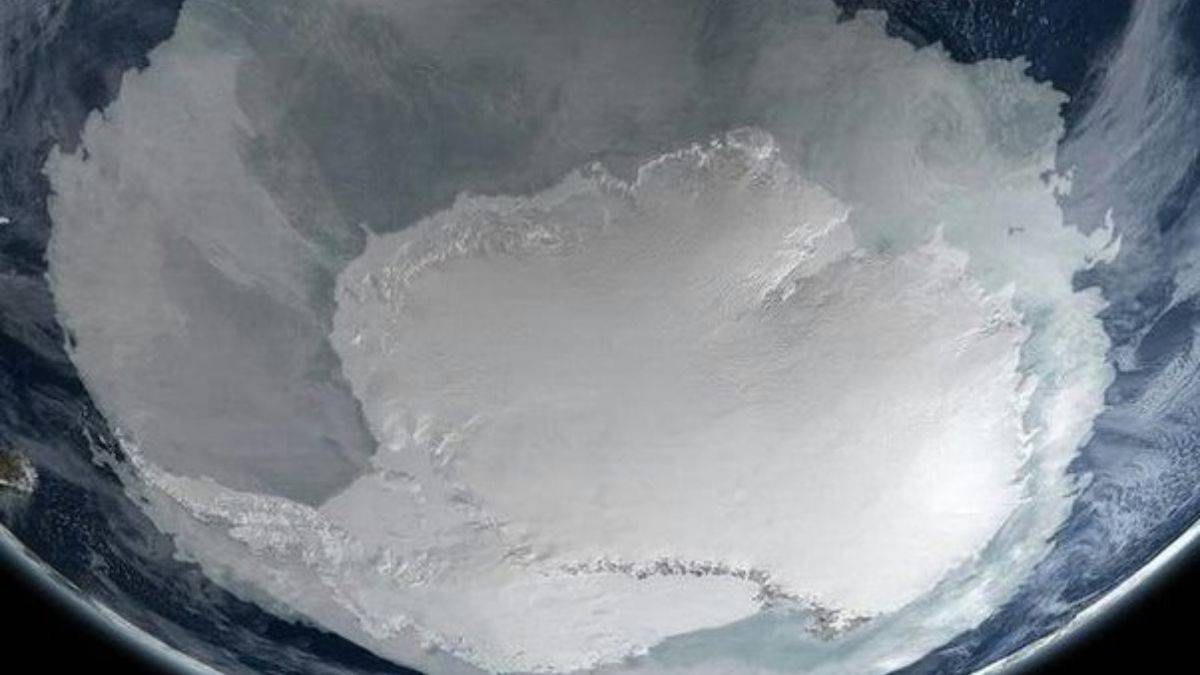
Sharing a photograph of what looks to be a sizable polar ice cover on social media, some believe it is from Antarctica as viewed from space.
Due to the image’s apparent high quantity of ice cover and the fact that it does not appear to be a real photograph taken from space, several people on social media have said the image demonstrates climate change is a fake.
The picture, which can be seen on NASA’s Scientific Visualization Studio website, is a computer-generated graphic created by NASA based on data from several kinds of Earth-observing satellites.
Based on data from September 2005, when ice in the northern hemisphere would have been at its minimum and Antarctica’s ice cover would have been at a maximum, NASA developed the graphic to demonstrate sea ice extent in the Arctic and the Antarctic.
It appears that the picture doing the rounds on social media is the second drawing (seen here), rotated and cropped.